Our Specialties & Services
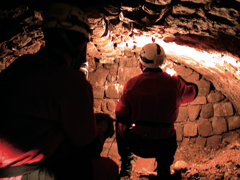
Explorations & Expeditions
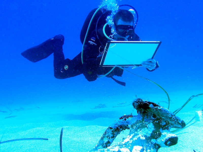
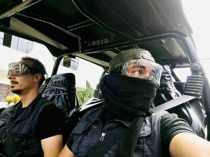
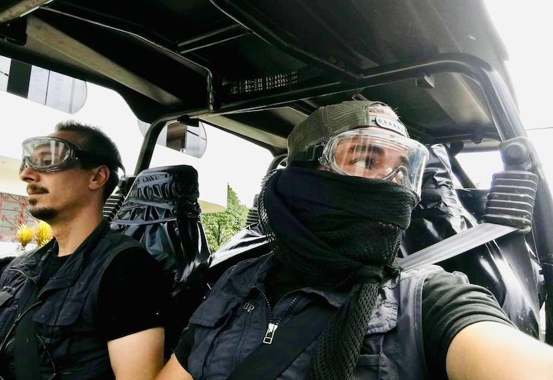
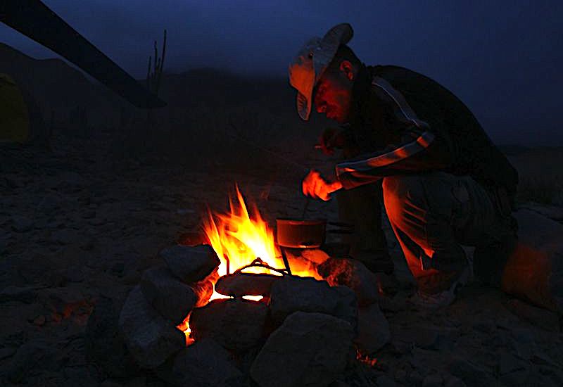
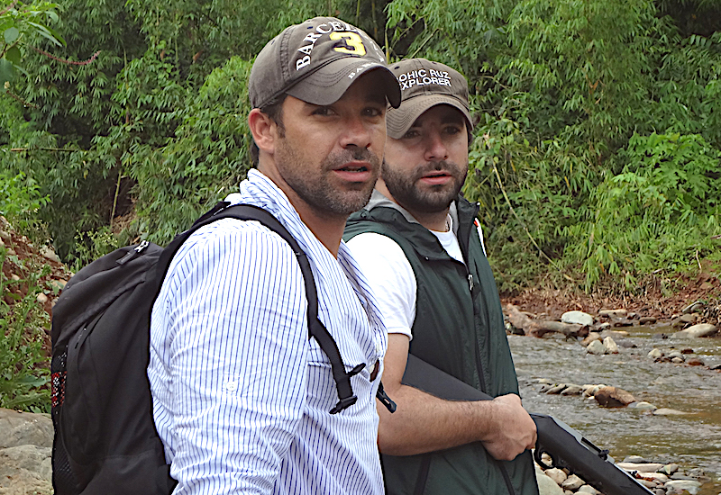
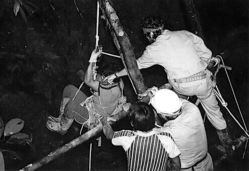
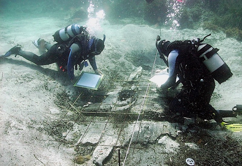
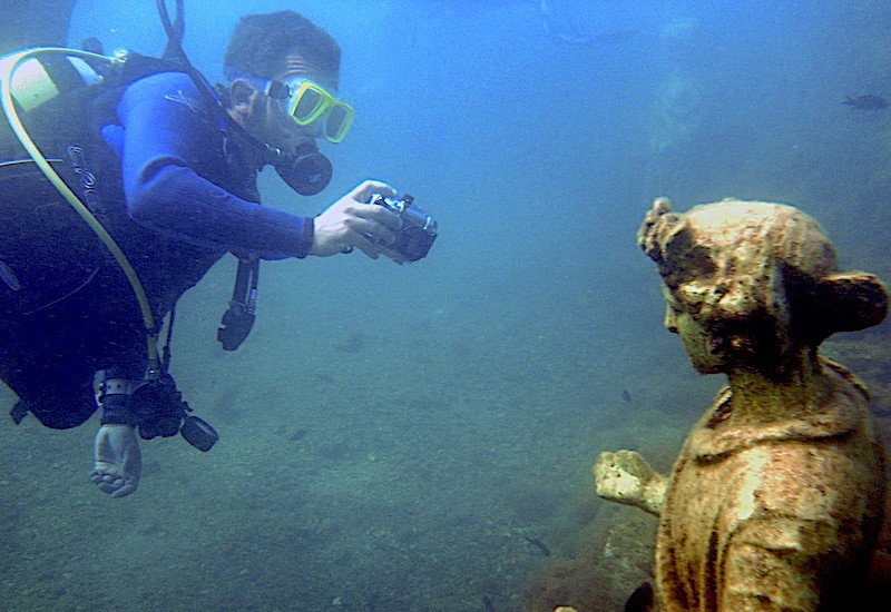
We have a highly specialized and experienced team in different disciplines for cutting-edge expeditions and explorations. EXPEDITIONS We carry out special research and exploration expeditions in different parts of the world. UNDERWATER EXPLORATIONS we use Robots for underwater exploration of large areas, capturing detailed images of any object on the seabed.
01Archaeology
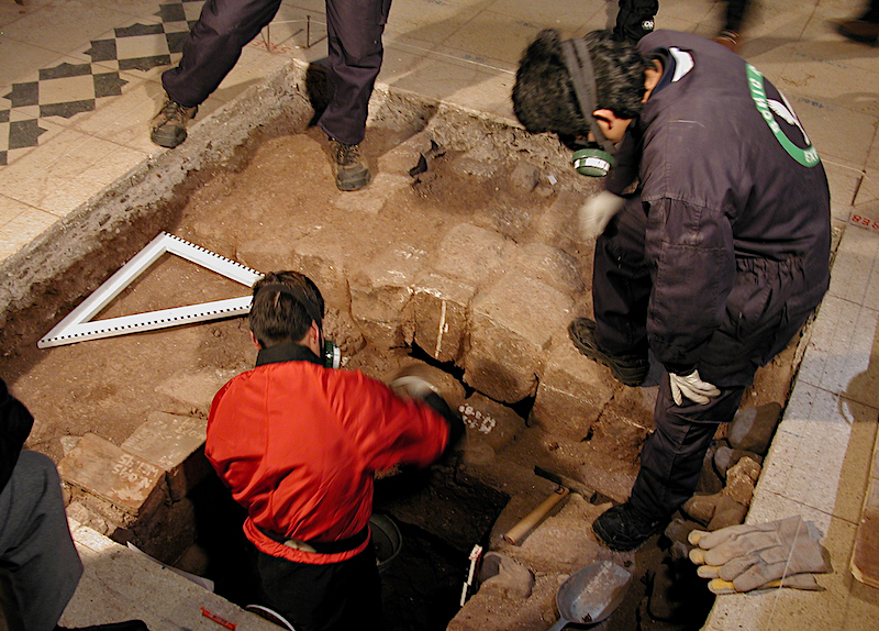
In Archaeology makes all kinds of interventions with latest generation techniques that do not directly affect the heritage remains (remote sensing and non-erosive techniques). A correct valuation of the archaeological remains makes that its potential presence does not suppose a difficulty for the correct development of the projects. We do development plans in sensitive areas and comprehensive plans of action in Historical - Archaeological and Natural Sites.
02- Works: Anastylosis, Surveys, Restoration, Conservation, Musealization, Excavations
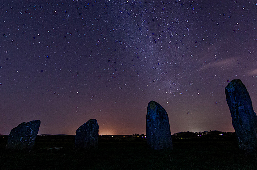
Archaeoastronomy
Our work in archeoastronomy serve as our methodology and analysis of astronomy and archeology tools, analyzing the archaeological and historical evidence of the different human cultures in search of reconstructing the old astronomies and its diverse cultural aspects. In practice we seek to establish through field measurements the astronomical orientation of an archaeological structure. Likewise, calendars, cosmologies and cosmogonies, cosmological symbols and all evidence of cultural activity related to astronomy are studied.
03
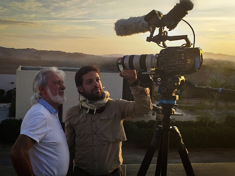
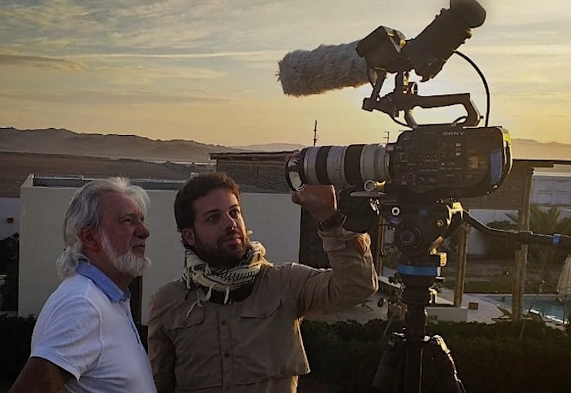
Image
For Expeditions, Field Films, Excavations, Prospects, etc., digital cameras are used 4K & 6K:
- BLACKMAGIC
- SONY
- CANON
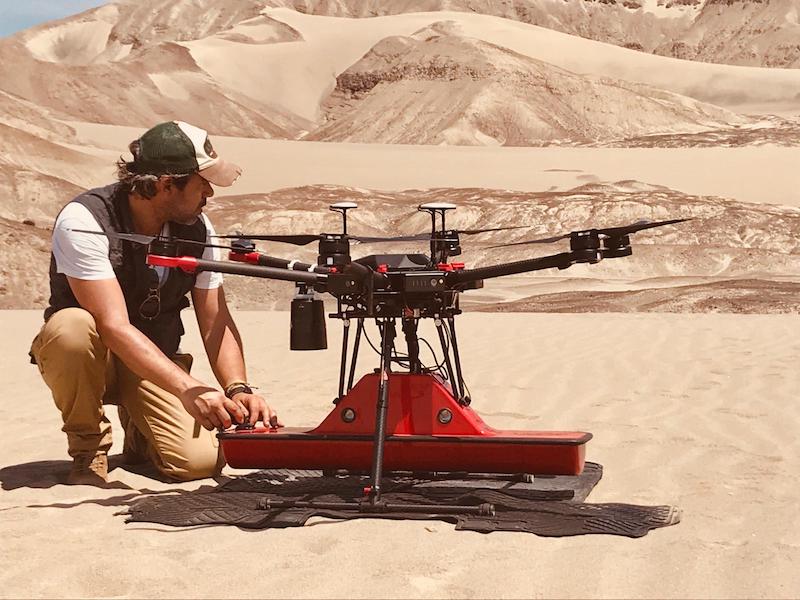
In places of difficult access special digital cameras with microlenses and suitable accessories are used. In aerial filming we have incorporated drones with unbeatable results with special cameras.
04
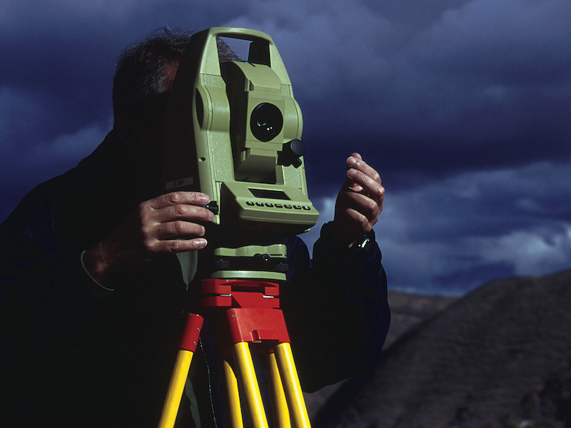
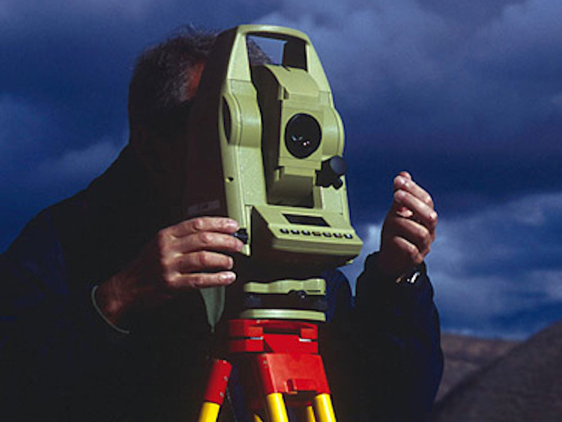
Topography CAD / GIS
We produce high quality metric mapping, both in planning as in altimetry. Our cartographic production processes are based on the combination of various techniques:
05- geodesics with GPS
- topographics
- photogrammetrics
This allows us to obtain: plans, maps, orthography and orthophotomaps. In topography and mapping we use topographical rises for aerial photogrammetry and architectural surveys for terrestrial photogrammetry.
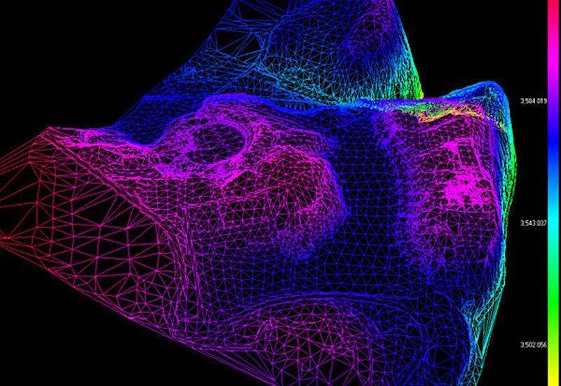
Teledetection
AIR AND GROUND PROSPECTION EQUIPMENT Currently for the area of archeology we use very advanced techniques in remote sensing using drones with GROUND PENETRATING RADAR (GPR) systems incorporated. With this technology we use antennas of different frequencies being able to reach depths of up to 25 meters. In turn, in special required jobs we use LIDAR, THERMOGRAPHY, MAGNETOMETRY and MAGNETIC-RESISTIVITY systems. IMAGES OF AIRBORNE AND SATELLITE SENSORS Gravimetry and magnetometry techniques, thermal infrared imaging and multispectral sensors are used for the archeology and environment areas. AERIAL PHOTOGRAPHY It is used to obtain orthophotographies, topographical cartography and digital terrain models using the photogrammetric restitution method.
06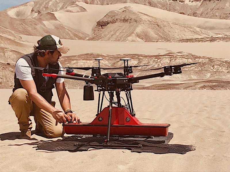
Drone Services
We have different drone systems for different research and exploration disciplines EXTREME PAYLOAD SYSTEM - DJI FLYCART 30 A long-distance heavy lifter with powerful signal and intelligence, DJI FlyCart 30 supports Cargo mode and Winch mode and ascends beyond traditional logistical limits to deliver a safe, economical, and efficient air transport solution PHOTOGRAPHY & VIDEOGRAPHY Air, Water, Land, Underwater, Underground, Thermal, Infrared We produce audiovisual and creative content for demanding projects: corporate, documentary and scientific
07